River Dove, upstream of Edmunds Road, Worsbrough
Introduction
The photograph on this page of River Dove, upstream of Edmunds Road, Worsbrough by Christine Johnstone as part of the Geograph project.
The Geograph project started in 2005 with the aim of publishing, organising and preserving representative images for every square kilometre of Great Britain, Ireland and the Isle of Man.

There are currently over 7.5m images from over 14,400 individuals and you can help contribute to the project by visiting https://www.geograph.org.uk
River Dove, upstream of Edmunds Road, Worsbrough
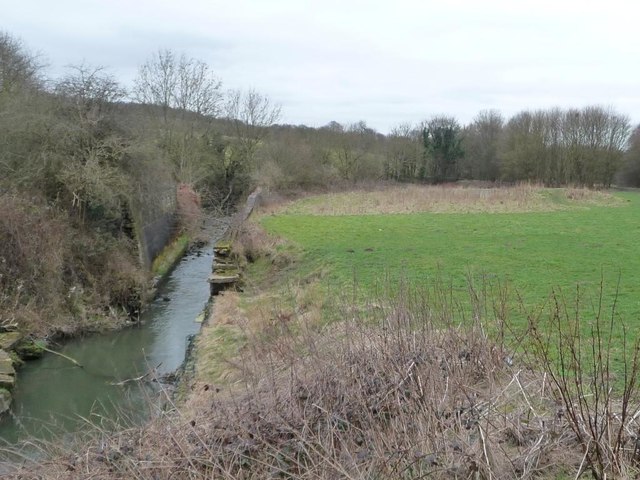
Image: © Christine Johnstone Taken: 19 Mar 2016
The river once lopped northwards here, but was straightened between 1850 and 1880, hence the high retaining walls.
Images are licensed for reuse under creativecommons.org/licenses/by-sa/2.0
Image Location
Latitude
53.526932
Longitude
-1.457514