Former crossing keeper's cottage, Worsbrough Bridge
Introduction
The photograph on this page of Former crossing keeper's cottage, Worsbrough Bridge by Christine Johnstone as part of the Geograph project.
The Geograph project started in 2005 with the aim of publishing, organising and preserving representative images for every square kilometre of Great Britain, Ireland and the Isle of Man.

There are currently over 7.5m images from over 14,400 individuals and you can help contribute to the project by visiting https://www.geograph.org.uk
Former crossing keeper's cottage, Worsbrough Bridge
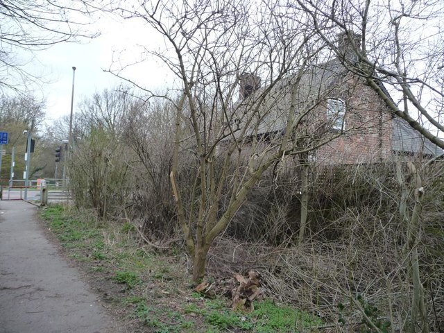
Image: © Christine Johnstone Taken: 19 Mar 2016
Seen from the former railway, immediately east of Bridge Crossing on the A61. This path was built as a railway to Silkstone Moor End, and later became part of the electrified Woodhead line, closing in 1981.
Images are licensed for reuse under creativecommons.org/licenses/by-sa/2.0
Image Location
Latitude
53.527978
Longitude
-1.470323