Driveway to Dickmontlaw
Introduction
The photograph on this page of Driveway to Dickmontlaw by Douglas Nelson as part of the Geograph project.
The Geograph project started in 2005 with the aim of publishing, organising and preserving representative images for every square kilometre of Great Britain, Ireland and the Isle of Man.

There are currently over 7.5m images from over 14,400 individuals and you can help contribute to the project by visiting https://www.geograph.org.uk
Driveway to Dickmontlaw
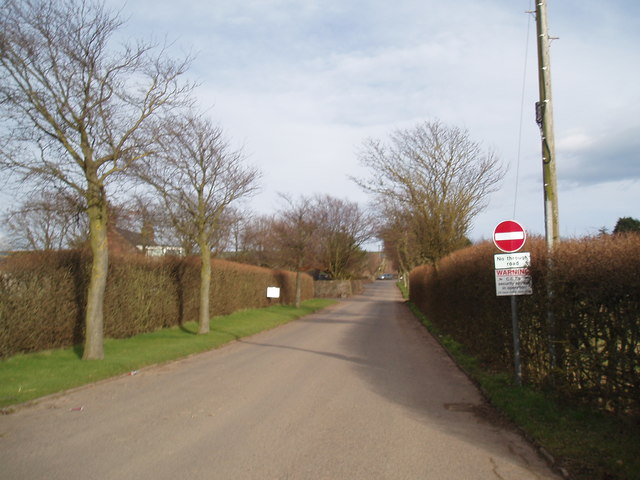
Image: © Douglas Nelson Taken: 21 Mar 2016
On an 18th Century map the farm was simply referred to as Cotton. On an Old Parish Register an entry referred to the farm as Cotton of Dickmontlaw.
Images are licensed for reuse under creativecommons.org/licenses/by-sa/2.0
Image Location
Latitude
56.58301
Longitude
-2.572039