Junction of Heol y Graig and Tanygraig Road, Llwynhendy
Introduction
The photograph on this page of Junction of Heol y Graig and Tanygraig Road, Llwynhendy by Jaggery as part of the Geograph project.
The Geograph project started in 2005 with the aim of publishing, organising and preserving representative images for every square kilometre of Great Britain, Ireland and the Isle of Man.

There are currently over 7.5m images from over 14,400 individuals and you can help contribute to the project by visiting https://www.geograph.org.uk
Junction of Heol y Graig and Tanygraig Road, Llwynhendy
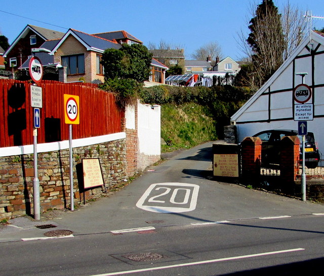
Image: © Jaggery Taken: 17 Mar 2016
The speed limit drops to 20mph up narrow Heol y Graig. Signs show one-way traffic ahead and a 7.5 tonnes vehicle weight limit, except for access.
Images are licensed for reuse under creativecommons.org/licenses/by-sa/2.0
Image Location
Latitude
51.67676
Longitude
-4.113419