Conversion of 11-13, Trinity Crescent
Introduction
The photograph on this page of Conversion of 11-13, Trinity Crescent by John Baker as part of the Geograph project.
The Geograph project started in 2005 with the aim of publishing, organising and preserving representative images for every square kilometre of Great Britain, Ireland and the Isle of Man.

There are currently over 7.5m images from over 14,400 individuals and you can help contribute to the project by visiting https://www.geograph.org.uk
Conversion of 11-13, Trinity Crescent
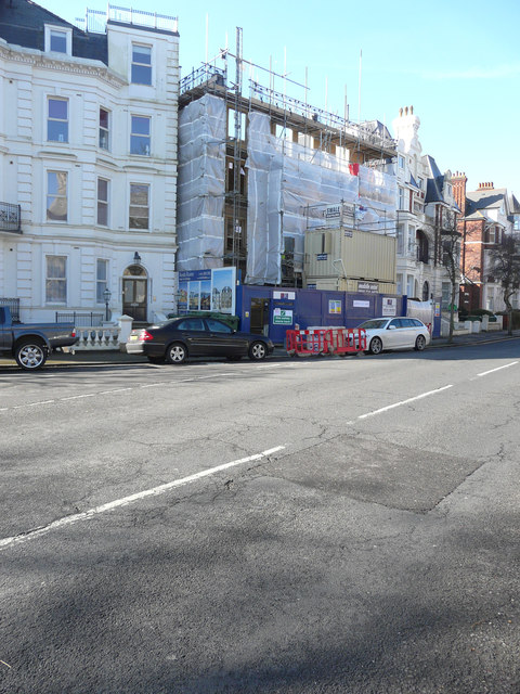
Image: © John Baker Taken: 3 Mar 2016
Planning permission has been approved by Folkestone and Hythe District Council under application number Y/13/0003/NMC as the “non-material change to application Y11/1090/SH - change of use from residential care home to 20 self-contained flats comprising 6 one bedroom flats, 12 two bedroom flats and 2 three bedroom maisonettes, together with provision of a basement level and three additional floors to Number 13 with the upper floor in the roof space and roof extensions and other external alterations to the existing building”. There has also been another planning application Y14/1117/SH a “ section 73 application to vary condition 3 of planning permission Y11/1090/SH to enable the formation of a roof terrace”. The building was formerly known as St Olave’s. Much building work has been carried out since I last took Image
Images are licensed for reuse under creativecommons.org/licenses/by-sa/2.0
Image Location
Latitude
51.076251
Longitude
1.166687