North Stoke pond
Introduction
The photograph on this page of North Stoke pond by Neil Owen as part of the Geograph project.
The Geograph project started in 2005 with the aim of publishing, organising and preserving representative images for every square kilometre of Great Britain, Ireland and the Isle of Man.

There are currently over 7.5m images from over 14,400 individuals and you can help contribute to the project by visiting https://www.geograph.org.uk
North Stoke pond
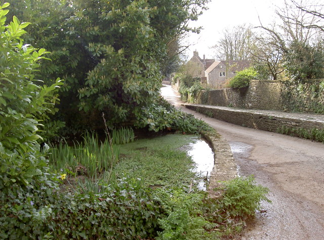
Image: © Neil Owen Taken: 21 Mar 2016
A small pond close to the church, holding the stream before it runs down towards Pipley Bottom and then on to Swineford.
Images are licensed for reuse under creativecommons.org/licenses/by-sa/2.0
Image Location
Latitude
51.420038
Longitude
-2.42865