Fly-tipping near Strafford Industrial Park
Introduction
The photograph on this page of Fly-tipping near Strafford Industrial Park by Christine Johnstone as part of the Geograph project.
The Geograph project started in 2005 with the aim of publishing, organising and preserving representative images for every square kilometre of Great Britain, Ireland and the Isle of Man.

There are currently over 7.5m images from over 14,400 individuals and you can help contribute to the project by visiting https://www.geograph.org.uk
Fly-tipping near Strafford Industrial Park
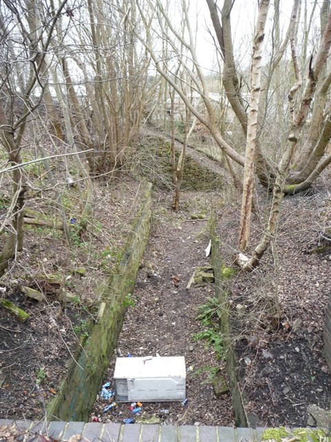
Image: © Christine Johnstone Taken: 19 Mar 2016
This was a public footpath crossing under a railway line, but is now little used. The former railway line is now the Trans Pennine / Dove Valley Trail.
Images are licensed for reuse under creativecommons.org/licenses/by-sa/2.0
Image Location
Latitude
53.532757
Longitude
-1.51643