Yardley Hall Lane, Thaxted
Introduction
The photograph on this page of Yardley Hall Lane, Thaxted by Roger Jones as part of the Geograph project.
The Geograph project started in 2005 with the aim of publishing, organising and preserving representative images for every square kilometre of Great Britain, Ireland and the Isle of Man.

There are currently over 7.5m images from over 14,400 individuals and you can help contribute to the project by visiting https://www.geograph.org.uk
Yardley Hall Lane, Thaxted
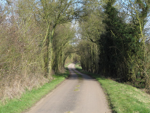
Image: © Roger Jones Taken: 20 Mar 2016
Trees line this section of a rural road, running through mainly arable land, which leads to Yardley Farm.
Images are licensed for reuse under creativecommons.org/licenses/by-sa/2.0
Image Location
Latitude
51.972922
Longitude
0.330827