Towards Holway
Introduction
The photograph on this page of Towards Holway by Graham Horn as part of the Geograph project.
The Geograph project started in 2005 with the aim of publishing, organising and preserving representative images for every square kilometre of Great Britain, Ireland and the Isle of Man.

There are currently over 7.5m images from over 14,400 individuals and you can help contribute to the project by visiting https://www.geograph.org.uk
Towards Holway
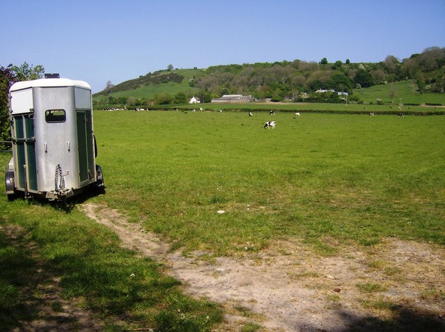
Image: © Graham Horn Taken: 5 May 2007
A bridleway heads east from Higher Sandford to the right hand side of this field towards Holway visible in the next square.
Images are licensed for reuse under creativecommons.org/licenses/by-sa/2.0
Image Location


Leaflet Map data © OpenStreetMap
Latitude
50.979912
Longitude
-2.53042