The reason for the road closure in Sandford Orcas
Introduction
The photograph on this page of The reason for the road closure in Sandford Orcas by Graham Horn as part of the Geograph project.
The Geograph project started in 2005 with the aim of publishing, organising and preserving representative images for every square kilometre of Great Britain, Ireland and the Isle of Man.

There are currently over 7.5m images from over 14,400 individuals and you can help contribute to the project by visiting https://www.geograph.org.uk
The reason for the road closure in Sandford Orcas
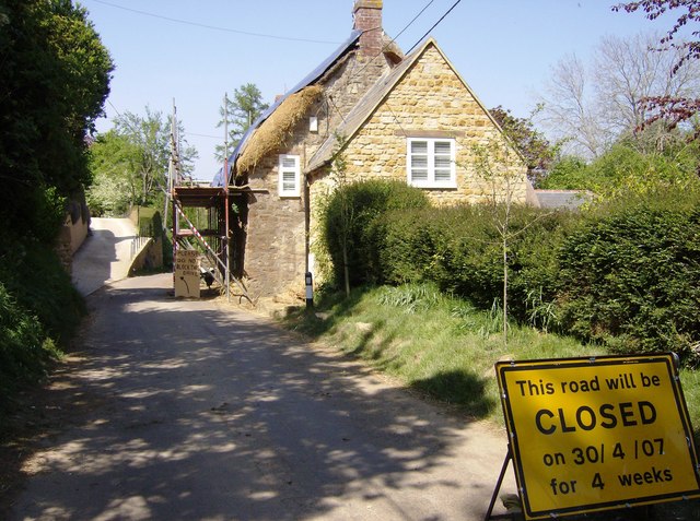
Image: © Graham Horn Taken: 5 May 2007
Rethatching this cottage at the southern end of Sandford Orcas. Access to the driveway on the left, but not enough room beyond on the narrow lane into the village.
Images are licensed for reuse under creativecommons.org/licenses/by-sa/2.0
Image Location


Leaflet Map data © OpenStreetMap
Latitude
50.982328
Longitude
-2.533012