Wilmot Place
Introduction
The photograph on this page of Wilmot Place by Bill Boaden as part of the Geograph project.
The Geograph project started in 2005 with the aim of publishing, organising and preserving representative images for every square kilometre of Great Britain, Ireland and the Isle of Man.

There are currently over 7.5m images from over 14,400 individuals and you can help contribute to the project by visiting https://www.geograph.org.uk
Wilmot Place
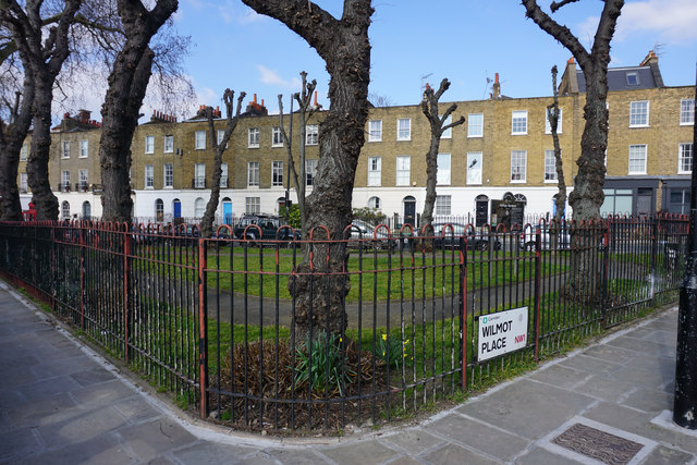
Image: © Bill Boaden Taken: 16 Mar 2016
An enclosed green in the triangle where Royal College Street and St Pancras Way meet. A typical London terrace is facing.
Images are licensed for reuse under creativecommons.org/licenses/by-sa/2.0
Image Location
Latitude
51.543561
Longitude
-0.139854