The road to Reen Cross
Introduction
The photograph on this page of The road to Reen Cross by David Smith as part of the Geograph project.
The Geograph project started in 2005 with the aim of publishing, organising and preserving representative images for every square kilometre of Great Britain, Ireland and the Isle of Man.

There are currently over 7.5m images from over 14,400 individuals and you can help contribute to the project by visiting https://www.geograph.org.uk
The road to Reen Cross
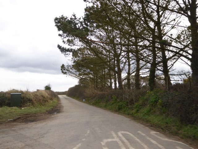
Image: © David Smith Taken: 11 Mar 2016
A minor road leading south from the B3285 near St Piran's Round
Images are licensed for reuse under creativecommons.org/licenses/by-sa/2.0
Image Location
Latitude
50.347823
Longitude
-5.125568