Church Road (B3141), East Huntspill
Introduction
The photograph on this page of Church Road (B3141), East Huntspill by Derek Harper as part of the Geograph project.
The Geograph project started in 2005 with the aim of publishing, organising and preserving representative images for every square kilometre of Great Britain, Ireland and the Isle of Man.

There are currently over 7.5m images from over 14,400 individuals and you can help contribute to the project by visiting https://www.geograph.org.uk
Church Road (B3141), East Huntspill
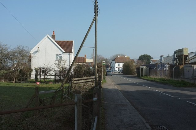
Image: © Derek Harper Taken: 13 Mar 2016
Just north of Bason Bridge, with the inn of the same name a little down the road. On the right is the former Wiltshire United Co-operative Society's creamery, now a business park.
Images are licensed for reuse under creativecommons.org/licenses/by-sa/2.0
Image Location
Latitude
51.208007
Longitude
-2.93744