B3141 in East Huntspill
Introduction
The photograph on this page of B3141 in East Huntspill by Derek Harper as part of the Geograph project.
The Geograph project started in 2005 with the aim of publishing, organising and preserving representative images for every square kilometre of Great Britain, Ireland and the Isle of Man.

There are currently over 7.5m images from over 14,400 individuals and you can help contribute to the project by visiting https://www.geograph.org.uk
B3141 in East Huntspill
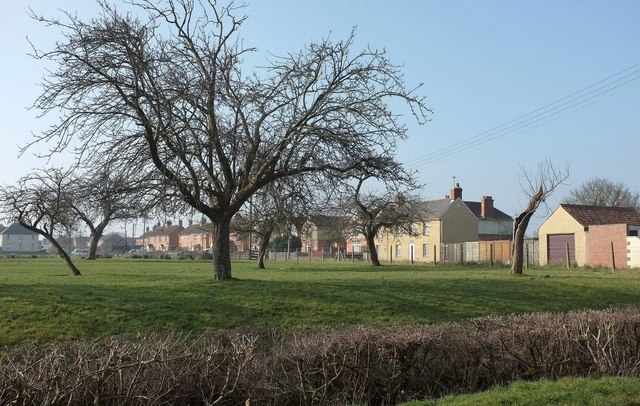
Image: © Derek Harper Taken: 13 Mar 2016
Houses on Church Road just south of Bason Bridge, seen across an orchard from Merry Lane.
Images are licensed for reuse under creativecommons.org/licenses/by-sa/2.0
Image Location
Latitude
51.206924
Longitude
-2.93799