Church Road (B3141), East Huntspill
Introduction
The photograph on this page of Church Road (B3141), East Huntspill by Derek Harper as part of the Geograph project.
The Geograph project started in 2005 with the aim of publishing, organising and preserving representative images for every square kilometre of Great Britain, Ireland and the Isle of Man.

There are currently over 7.5m images from over 14,400 individuals and you can help contribute to the project by visiting https://www.geograph.org.uk
Church Road (B3141), East Huntspill
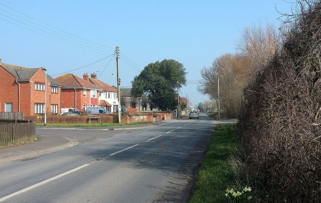
Image: © Derek Harper Taken: 13 Mar 2016
Beyond the houses on the left, and partly behind a tree, is the grey lias of All Saints Church, built in 1839 https://www.historicengland.org.uk/listing/the-list/list-entry/1060130 .
Images are licensed for reuse under creativecommons.org/licenses/by-sa/2.0
Image Location
Latitude
51.201152
Longitude
-2.940163