Stowey House Farm
Introduction
The photograph on this page of Stowey House Farm by Neil Owen as part of the Geograph project.
The Geograph project started in 2005 with the aim of publishing, organising and preserving representative images for every square kilometre of Great Britain, Ireland and the Isle of Man.

There are currently over 7.5m images from over 14,400 individuals and you can help contribute to the project by visiting https://www.geograph.org.uk
Stowey House Farm
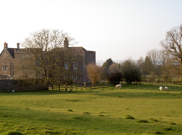
Image: © Neil Owen Taken: 17 Mar 2016
Looking from the church to the old house, now a farm. The site appears to date from the 1600s with much more dating from Georgian times; Grade II listed.
Images are licensed for reuse under creativecommons.org/licenses/by-sa/2.0
Image Location


Leaflet Map data © OpenStreetMap
Latitude
51.333168
Longitude
-2.577407