Pathway Portishead Marina
Introduction
The photograph on this page of Pathway Portishead Marina by Steve Houldsworth as part of the Geograph project.
The Geograph project started in 2005 with the aim of publishing, organising and preserving representative images for every square kilometre of Great Britain, Ireland and the Isle of Man.

There are currently over 7.5m images from over 14,400 individuals and you can help contribute to the project by visiting https://www.geograph.org.uk
Pathway Portishead Marina
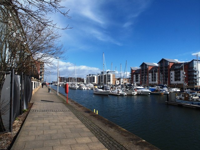
Image: © Steve Houldsworth Taken: 4 Mar 2016
The path along the edge of Portishead Marina looking down along the front of the apartment buildings.
Images are licensed for reuse under creativecommons.org/licenses/by-sa/2.0
Image Location


Leaflet Map data © OpenStreetMap
Latitude
51.488931
Longitude
-2.761713