Former Barbour's mill, Hilden - March 2016(3)
Introduction
The photograph on this page of Former Barbour's mill, Hilden - March 2016(3) by Albert Bridge as part of the Geograph project.
The Geograph project started in 2005 with the aim of publishing, organising and preserving representative images for every square kilometre of Great Britain, Ireland and the Isle of Man.

There are currently over 7.5m images from over 14,400 individuals and you can help contribute to the project by visiting https://www.geograph.org.uk
Former Barbour's mill, Hilden - March 2016(3)
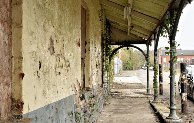
Image: © Albert Bridge Taken: 19 Mar 2016
This area (middle bottom in Image) is the only part of the premises outside the fence. My thanks to a visitor to the site who told me that this was originally a canteen (known as the “dining room”) and that there were wooden benches outside for the workers to rest at lunch time.
Images are licensed for reuse under creativecommons.org/licenses/by-sa/2.0
Image Location
Latitude
54.52091
Longitude
-6.024453