Doniford Cross
Introduction
The photograph on this page of Doniford Cross by Adrian Dust as part of the Geograph project.
The Geograph project started in 2005 with the aim of publishing, organising and preserving representative images for every square kilometre of Great Britain, Ireland and the Isle of Man.

There are currently over 7.5m images from over 14,400 individuals and you can help contribute to the project by visiting https://www.geograph.org.uk
Doniford Cross
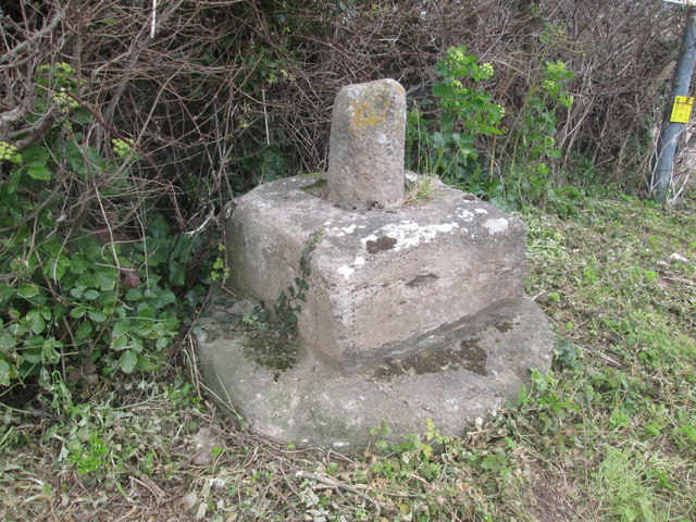
Image: © Adrian Dust Taken: 18 Mar 2016
There is an Ordnance Survey Bolt on the rear of the cross. http://www.geograph.org.uk/photo/4869411
Images are licensed for reuse under creativecommons.org/licenses/by-sa/2.0
Image Location
Latitude
51.17804
Longitude
-3.305645