Closed flood gate, Holme Head
Introduction
The photograph on this page of Closed flood gate, Holme Head by Rose and Trev Clough as part of the Geograph project.
The Geograph project started in 2005 with the aim of publishing, organising and preserving representative images for every square kilometre of Great Britain, Ireland and the Isle of Man.

There are currently over 7.5m images from over 14,400 individuals and you can help contribute to the project by visiting https://www.geograph.org.uk
Closed flood gate, Holme Head
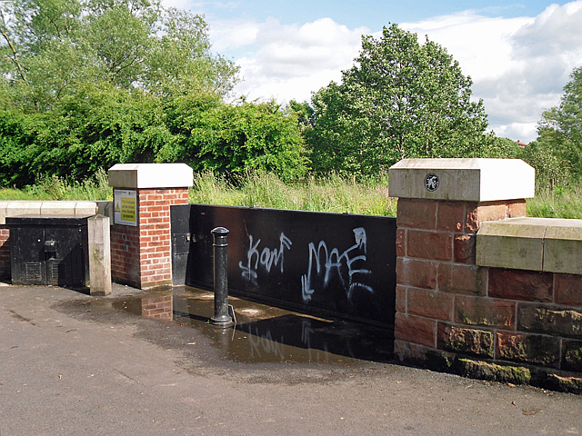
Image: © Rose and Trev Clough Taken: 24 Jun 2012
Part of a £38m flood defence scheme for Carlisle, completed in 2010. There is a circular plaque attached to the gatepost on the right - for close-up, see Image .
Images are licensed for reuse under creativecommons.org/licenses/by-sa/2.0
Image Location
Latitude
54.881336
Longitude
-2.94077