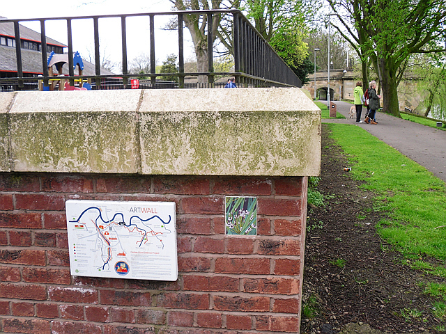
Flood wall art trail, Sands Centre
Introduction
The photograph on this page of Flood wall art trail, Sands Centre by Rose and Trev Clough as part of the Geograph project.
The Geograph project started in 2005 with the aim of publishing, organising and preserving representative images for every square kilometre of Great Britain, Ireland and the Isle of Man.
There are currently over 7.5m images from over 14,400 individuals and you can help contribute to the project by visiting https://www.geograph.org.uk

Image: © Rose and Trev Clough Taken: 8 Apr 2012
Following extensive flooding in Carlisle in January 2005, flood alleviation measures costing £38m were implemented. As well as offering protection, the works were designed to enhance footpaths, cycleways and wildlife habitats. The Environment Agency also commissioned an art work of 40 small enamel plaques, with locally themed designs. These were sited on the flood walls to create a riverside trail, which is shown on the map pictured above. The plaque to the right is 'Flowering rush' by artist Alison White. For further information, see art project manager's website http://cathynewbery.co.uk/portfolio/art-on-the-wall/ . Sadly, the defences could not hold back the next extreme flood which occurred in December 2015. The water got behind this wall and the leisure centre suffered some damage.
Image Location


