A167
Introduction
The photograph on this page of A167 by Richard Webb as part of the Geograph project.
The Geograph project started in 2005 with the aim of publishing, organising and preserving representative images for every square kilometre of Great Britain, Ireland and the Isle of Man.

There are currently over 7.5m images from over 14,400 individuals and you can help contribute to the project by visiting https://www.geograph.org.uk
A167
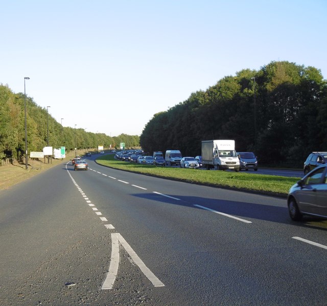
Image: © Richard Webb Taken: 1 Oct 2015
There is an inviting path on the other side, it was once the A696 but it was impossible to cross the road. Crossing at the Cowgate roundabout was difficult due to roadworks.
Images are licensed for reuse under creativecommons.org/licenses/by-sa/2.0
Image Location
Latitude
54.989704
Longitude
-1.649115