Grassy corner in Pucklechurch
Introduction
The photograph on this page of Grassy corner in Pucklechurch by Jaggery as part of the Geograph project.
The Geograph project started in 2005 with the aim of publishing, organising and preserving representative images for every square kilometre of Great Britain, Ireland and the Isle of Man.

There are currently over 7.5m images from over 14,400 individuals and you can help contribute to the project by visiting https://www.geograph.org.uk
Grassy corner in Pucklechurch
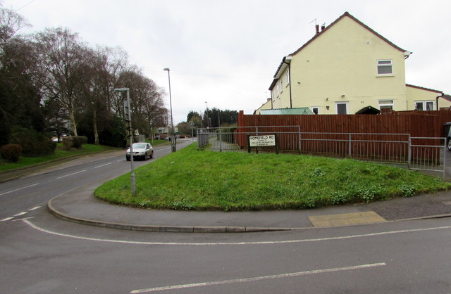
Image: © Jaggery Taken: 5 Feb 2016
The B4465 Shortwood Road is on the left. The name sign shows that Homefield Road on the right leads to Poplar Road, Orchard Road and Queens Road.
Images are licensed for reuse under creativecommons.org/licenses/by-sa/2.0
Image Location
Latitude
51.484296
Longitude
-2.437317