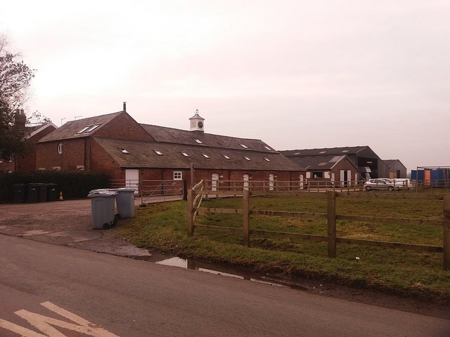
Springbank Farm with recent changes
Introduction
The photograph on this page of Springbank Farm with recent changes by Stephen Craven as part of the Geograph project.
The Geograph project started in 2005 with the aim of publishing, organising and preserving representative images for every square kilometre of Great Britain, Ireland and the Isle of Man.
There are currently over 7.5m images from over 14,400 individuals and you can help contribute to the project by visiting https://www.geograph.org.uk

Image: © Stephen Craven Taken: 12 Mar 2016
Since I last photographed this farm over 7 years ago Image there have been some changes. The clock turret, although it looks historic, is new; there are additional skylight windows in the upper storey; and the silo has gone. The emphasis now seems to be on the livery stables. The name of this farm is given on the Landranger map (both online and paper versions) as Sprinkbank, but it seems to be a rare OS error, as the Explorer map gives it as Springbank (as indeed it is on the farm's own nameplate). See also Image

