Houses in Axmouth
Introduction
The photograph on this page of Houses in Axmouth by Nigel Mykura as part of the Geograph project.
The Geograph project started in 2005 with the aim of publishing, organising and preserving representative images for every square kilometre of Great Britain, Ireland and the Isle of Man.

There are currently over 7.5m images from over 14,400 individuals and you can help contribute to the project by visiting https://www.geograph.org.uk
Houses in Axmouth
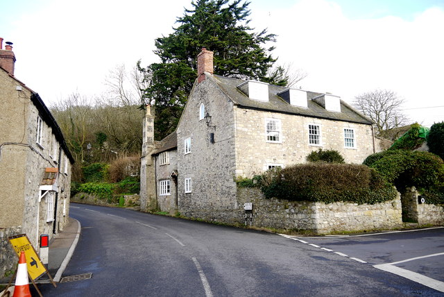
Image: © Nigel Mykura Taken: 3 Feb 2016
These stone built houses are at the junction of Chapel St and Church St, the B3172 in the centre of the village.
Images are licensed for reuse under creativecommons.org/licenses/by-sa/2.0
Image Location
Latitude
50.714689
Longitude
-3.051926