How End Lane
Introduction
The photograph on this page of How End Lane by David Purchase as part of the Geograph project.
The Geograph project started in 2005 with the aim of publishing, organising and preserving representative images for every square kilometre of Great Britain, Ireland and the Isle of Man.

There are currently over 7.5m images from over 14,400 individuals and you can help contribute to the project by visiting https://www.geograph.org.uk
How End Lane
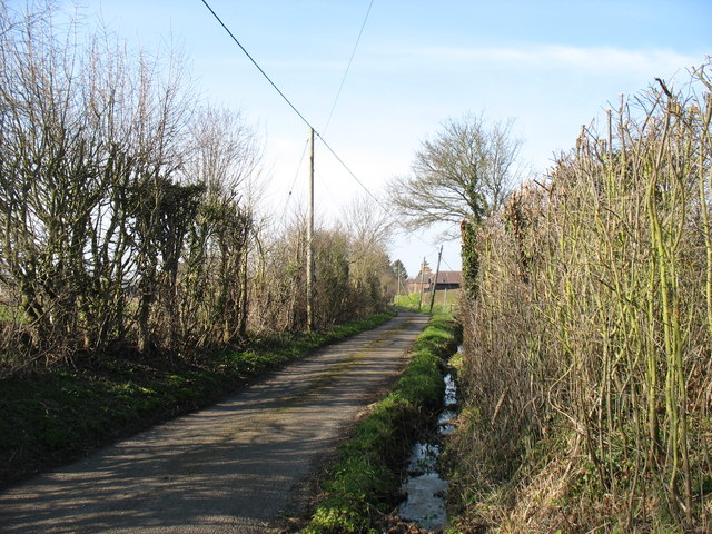
Image: © David Purchase Taken: 13 Mar 2016
How End is a small village, and its lane (a cul-de-sac) has no parking and very limited turning spaces. So I took advantage of this one to stop and grab a photo, looking back north to the approach road.
Images are licensed for reuse under creativecommons.org/licenses/by-sa/2.0
Image Location
Latitude
52.054062
Longitude
-0.49371