Seatonburn Waggonway
Introduction
The photograph on this page of Seatonburn Waggonway by Richard Webb as part of the Geograph project.
The Geograph project started in 2005 with the aim of publishing, organising and preserving representative images for every square kilometre of Great Britain, Ireland and the Isle of Man.

There are currently over 7.5m images from over 14,400 individuals and you can help contribute to the project by visiting https://www.geograph.org.uk
Seatonburn Waggonway
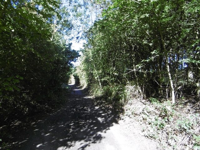
Image: © Richard Webb Taken: 1 Oct 2015
Now a cycle path, the railway was shown as open on the 1976 1:50,000 map and disused on the 1981 edition.
Images are licensed for reuse under creativecommons.org/licenses/by-sa/2.0
Image Location
Latitude
55.049095
Longitude
-1.616981