
A wrong turning
Introduction
The photograph on this page of A wrong turning by Robert Ashby as part of the Geograph project.
The Geograph project started in 2005 with the aim of publishing, organising and preserving representative images for every square kilometre of Great Britain, Ireland and the Isle of Man.

There are currently over 7.5m images from over 14,400 individuals and you can help contribute to the project by visiting https://www.geograph.org.uk
A wrong turning
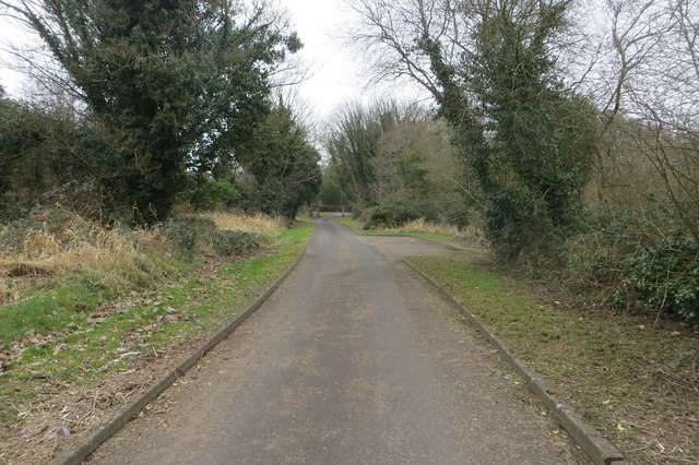
Image: © Robert Ashby Taken: 16 Mar 2016
What was marked on my old (1990 edition) 1:50,000 OS map as a public road off the B18 Shore Road called The Point Road, which looped round and led back to the B18 farther along, evolved into a private road leading to the Limnology centre on Lough Neagh near Ballyronan with no further access. I had to cycle all the way back. Note to self; buy a new updated map!
Images are licensed for reuse under creativecommons.org/licenses/by-sa/2.0
Image Location

Latitude
54.727311
Longitude
-6.516906