Wagonway north of Middle Engine Way
Introduction
The photograph on this page of Wagonway north of Middle Engine Way by Richard Webb as part of the Geograph project.
The Geograph project started in 2005 with the aim of publishing, organising and preserving representative images for every square kilometre of Great Britain, Ireland and the Isle of Man.

There are currently over 7.5m images from over 14,400 individuals and you can help contribute to the project by visiting https://www.geograph.org.uk
Wagonway north of Middle Engine Way
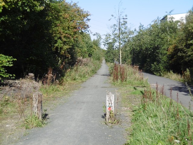
Image: © Richard Webb Taken: 1 Oct 2015
The Blyth and Tyne Railway which served Cramlington and Backworth Collieries is now a cycle/footpath. This is also the route of the older Seatonburn Waggonway. The railway is shown as operational on the 1981 1:50,000 Ordnance Survey map.
Images are licensed for reuse under creativecommons.org/licenses/by-sa/2.0
Image Location
Latitude
55.018378
Longitude
-1.497631