Backworth Colliery Railway
Introduction
The photograph on this page of Backworth Colliery Railway by Richard Webb as part of the Geograph project.
The Geograph project started in 2005 with the aim of publishing, organising and preserving representative images for every square kilometre of Great Britain, Ireland and the Isle of Man.

There are currently over 7.5m images from over 14,400 individuals and you can help contribute to the project by visiting https://www.geograph.org.uk
Backworth Colliery Railway
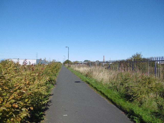
Image: © Richard Webb Taken: 1 Oct 2015
Now a cycle path. Behind the Japanese Knotweed on the left is the North Tyneside Steam Railway which uses the route of the Seatonburn Waggonway. On the right is an industrial area where at the time was awaiting redevelopment with the network of roads left after demolition of older units.
Images are licensed for reuse under creativecommons.org/licenses/by-sa/2.0
Image Location
Latitude
55.007179
Longitude
-1.484168