Bath Road, Lower Calcot
Introduction
The photograph on this page of Bath Road, Lower Calcot by David Howard as part of the Geograph project.
The Geograph project started in 2005 with the aim of publishing, organising and preserving representative images for every square kilometre of Great Britain, Ireland and the Isle of Man.

There are currently over 7.5m images from over 14,400 individuals and you can help contribute to the project by visiting https://www.geograph.org.uk
Bath Road, Lower Calcot
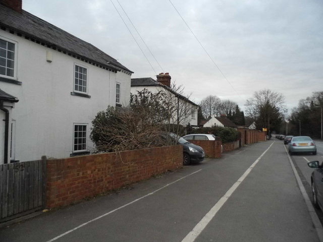
Image: © David Howard Taken: 6 Mar 2016
The white line may either be to help drunks stay on the pavement or guide pedestrians between 12 and 5.30 am when the street lights are turned off.
Images are licensed for reuse under creativecommons.org/licenses/by-sa/2.0
Image Location
Latitude
51.442427
Longitude
-1.03954