Road approach to Glanyrafon Industrial Estate
Introduction
The photograph on this page of Road approach to Glanyrafon Industrial Estate by Nigel Brown as part of the Geograph project.
The Geograph project started in 2005 with the aim of publishing, organising and preserving representative images for every square kilometre of Great Britain, Ireland and the Isle of Man.

There are currently over 7.5m images from over 14,400 individuals and you can help contribute to the project by visiting https://www.geograph.org.uk
Road approach to Glanyrafon Industrial Estate
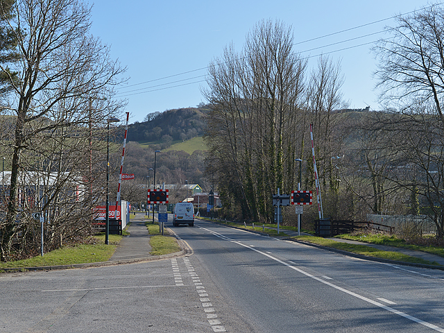
Image: © Nigel Brown Taken: 16 Mar 2016
The road continues beyond the estate as a popular if narrow lane to Moriah on the A4120, and also gives access to the narrow road heading east up the Rheidol valley south of the Afon Rheidol. The white van in the picture has just crossed the level crossing taking the Vale of Rheidol Railway over the road.
Images are licensed for reuse under creativecommons.org/licenses/by-sa/2.0
Image Location
Latitude
52.404042
Longitude
-4.044449