Path towards a Vodafone site, Bigyn, Llanelli
Introduction
The photograph on this page of Path towards a Vodafone site, Bigyn, Llanelli by Jaggery as part of the Geograph project.
The Geograph project started in 2005 with the aim of publishing, organising and preserving representative images for every square kilometre of Great Britain, Ireland and the Isle of Man.

There are currently over 7.5m images from over 14,400 individuals and you can help contribute to the project by visiting https://www.geograph.org.uk
Path towards a Vodafone site, Bigyn, Llanelli
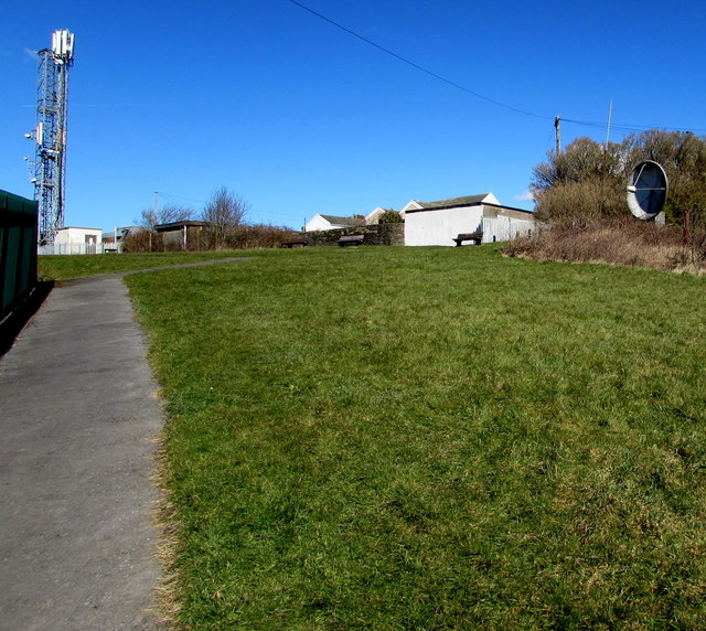
Image: © Jaggery Taken: 10 Mar 2016
A telecoms mast on the left and satellite dish on the right are located in the Bigyn area of Llanelli near Bigyn Primary School.
Images are licensed for reuse under creativecommons.org/licenses/by-sa/2.0
Image Location
Latitude
51.676923
Longitude
-4.153927