Stony Croft Lane at Stainland Road
Introduction
The photograph on this page of Stony Croft Lane at Stainland Road by Humphrey Bolton as part of the Geograph project.
The Geograph project started in 2005 with the aim of publishing, organising and preserving representative images for every square kilometre of Great Britain, Ireland and the Isle of Man.

There are currently over 7.5m images from over 14,400 individuals and you can help contribute to the project by visiting https://www.geograph.org.uk
Stony Croft Lane at Stainland Road
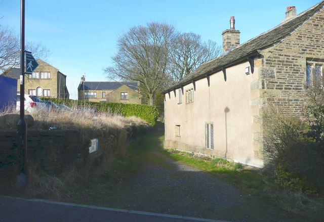
Image: © Humphrey Bolton Taken: 14 Mar 2016
Stony Croft Lane seems to be a field access track as it does not lead to a farm of that name. It ends after crossing Sandyfoot Clough, although maps from 1850 up to 1963 or later show a track over a field to Wood Royd.
Images are licensed for reuse under creativecommons.org/licenses/by-sa/2.0
Image Location


Leaflet Map data © OpenStreetMap
Latitude
53.675716
Longitude
-1.91186