Farm lane to Higher Horslett
Introduction
The photograph on this page of Farm lane to Higher Horslett by Derek Harper as part of the Geograph project.
The Geograph project started in 2005 with the aim of publishing, organising and preserving representative images for every square kilometre of Great Britain, Ireland and the Isle of Man.

There are currently over 7.5m images from over 14,400 individuals and you can help contribute to the project by visiting https://www.geograph.org.uk
Farm lane to Higher Horslett
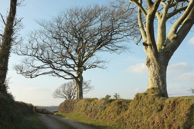
Image: © Derek Harper Taken: 15 Mar 2016
The private farm road seen from its junction with the lane up Horslett Hill, and with attractive beeches on the bank.
Images are licensed for reuse under creativecommons.org/licenses/by-sa/2.0
Image Location


Leaflet Map data © OpenStreetMap
Latitude
50.753796
Longitude
-4.374543