Lane near Layhay
Introduction
The photograph on this page of Lane near Layhay by Derek Harper as part of the Geograph project.
The Geograph project started in 2005 with the aim of publishing, organising and preserving representative images for every square kilometre of Great Britain, Ireland and the Isle of Man.

There are currently over 7.5m images from over 14,400 individuals and you can help contribute to the project by visiting https://www.geograph.org.uk
Lane near Layhay
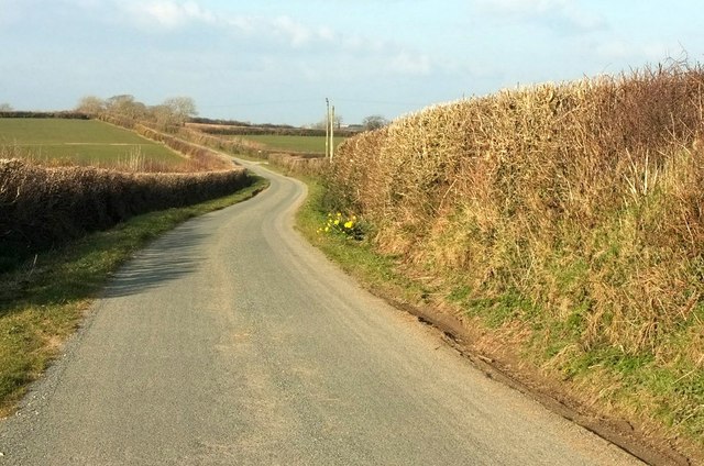
Image: © Derek Harper Taken: 15 Mar 2016
The lane from North Tamerton to Affaland Cross briefly crosses the square; by the time it reaches the junction ahead on the right, the turn into the farm at Fernhill, it has crossed into Image
Images are licensed for reuse under creativecommons.org/licenses/by-sa/2.0
Image Location
Latitude
50.758847
Longitude
-4.36941