Cockshoot Road and Methodist Chapel
Introduction
The photograph on this page of Cockshoot Road and Methodist Chapel by Jonathan Billinger as part of the Geograph project.
The Geograph project started in 2005 with the aim of publishing, organising and preserving representative images for every square kilometre of Great Britain, Ireland and the Isle of Man.

There are currently over 7.5m images from over 14,400 individuals and you can help contribute to the project by visiting https://www.geograph.org.uk
Cockshoot Road and Methodist Chapel
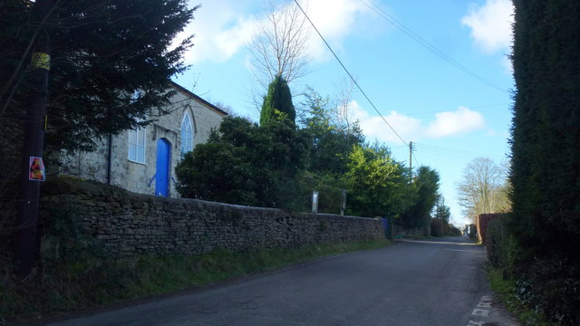
Image: © Jonathan Billinger Taken: 11 Feb 2016
Chapel is perched high above the Sheepscombe valley, dating from 1820 and still in use in 2016.
Images are licensed for reuse under creativecommons.org/licenses/by-sa/2.0
Image Location
Latitude
51.787735
Longitude
-2.162036