Lane out of Gowthorpe to junction with Kirklands Lane
Introduction
The photograph on this page of Lane out of Gowthorpe to junction with Kirklands Lane by Martin Dawes as part of the Geograph project.
The Geograph project started in 2005 with the aim of publishing, organising and preserving representative images for every square kilometre of Great Britain, Ireland and the Isle of Man.

There are currently over 7.5m images from over 14,400 individuals and you can help contribute to the project by visiting https://www.geograph.org.uk
Lane out of Gowthorpe to junction with Kirklands Lane
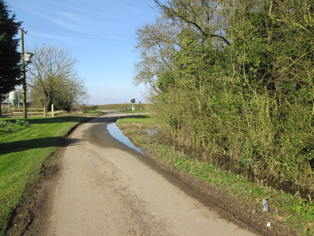
Image: © Martin Dawes Taken: 14 Mar 2016
Ditch to the right flooded and coming onto the road.
Images are licensed for reuse under creativecommons.org/licenses/by-sa/2.0
Image Location
Latitude
53.980481
Longitude
-0.837581