Llwydcoed Fach
Introduction
The photograph on this page of Llwydcoed Fach by Alan Richards as part of the Geograph project.
The Geograph project started in 2005 with the aim of publishing, organising and preserving representative images for every square kilometre of Great Britain, Ireland and the Isle of Man.

There are currently over 7.5m images from over 14,400 individuals and you can help contribute to the project by visiting https://www.geograph.org.uk
Llwydcoed Fach
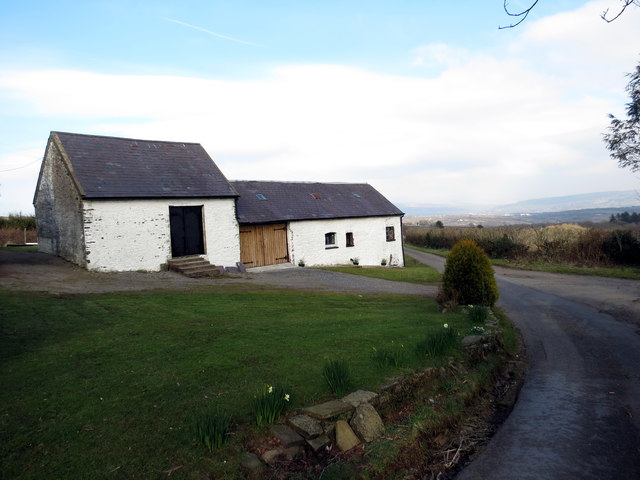
Image: © Alan Richards Taken: 15 Mar 2016
Heol fach yn mynd heibio i dai mas Ffarm Llwydcoed Fach. A minor road passing the outhouses of Llwydcoed Fach Farm (grey wood).
Images are licensed for reuse under creativecommons.org/licenses/by-sa/2.0
Image Location
Latitude
51.768453
Longitude
-4.095091