Wings School
Introduction
The photograph on this page of Wings School by Graham Hogg as part of the Geograph project.
The Geograph project started in 2005 with the aim of publishing, organising and preserving representative images for every square kilometre of Great Britain, Ireland and the Isle of Man.

There are currently over 7.5m images from over 14,400 individuals and you can help contribute to the project by visiting https://www.geograph.org.uk
Wings School
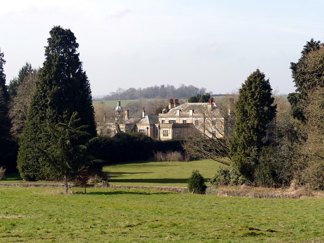
Image: © Graham Hogg Taken: 14 Mar 2016
The school is located in the grade II listed Kirklington Hall, which dates from the 1770s.
Images are licensed for reuse under creativecommons.org/licenses/by-sa/2.0
Image Location
Latitude
53.114269
Longitude
-0.979851