Llwybr Twll y Car Path
Introduction
The photograph on this page of Llwybr Twll y Car Path by Alan Richards as part of the Geograph project.
The Geograph project started in 2005 with the aim of publishing, organising and preserving representative images for every square kilometre of Great Britain, Ireland and the Isle of Man.

There are currently over 7.5m images from over 14,400 individuals and you can help contribute to the project by visiting https://www.geograph.org.uk
Llwybr Twll y Car Path
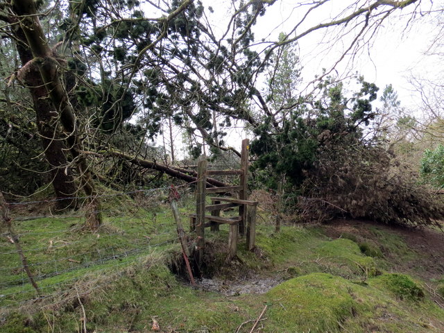
Image: © Alan Richards Taken: 15 Mar 2016
Sticil ar lwybr cyhoeddus yn rhoi mynediad i mewn i blanhigfa goniferaidd. A stile on a public footpath giving access to a conifer plantation.
Images are licensed for reuse under creativecommons.org/licenses/by-sa/2.0
Image Location
Latitude
51.777992
Longitude
-4.099737