Tiverton: the old Bampton Road
Introduction
The photograph on this page of Tiverton: the old Bampton Road by Martin Bodman as part of the Geograph project.
The Geograph project started in 2005 with the aim of publishing, organising and preserving representative images for every square kilometre of Great Britain, Ireland and the Isle of Man.

There are currently over 7.5m images from over 14,400 individuals and you can help contribute to the project by visiting https://www.geograph.org.uk
Tiverton: the old Bampton Road
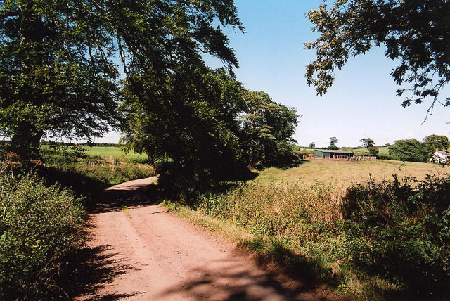
Image: © Martin Bodman Taken: 2 Sep 2005
Looking north from near Firebeacon. This was the main route between Tiverton and Bampton until the new Exe Valley road – the A396 – was opened in 1819. It was further downgraded in the 1860s when Knighthayes House was built; the replacement road was constructed away from the house, running to the east via Allers and Chettiscombe
Images are licensed for reuse under creativecommons.org/licenses/by-sa/2.0
Image Location


Leaflet Map data © OpenStreetMap
Latitude
50.938625
Longitude
-3.474417