Leytonstone High Road
Introduction
The photograph on this page of Leytonstone High Road by Stephen McKay as part of the Geograph project.
The Geograph project started in 2005 with the aim of publishing, organising and preserving representative images for every square kilometre of Great Britain, Ireland and the Isle of Man.

There are currently over 7.5m images from over 14,400 individuals and you can help contribute to the project by visiting https://www.geograph.org.uk
Leytonstone High Road
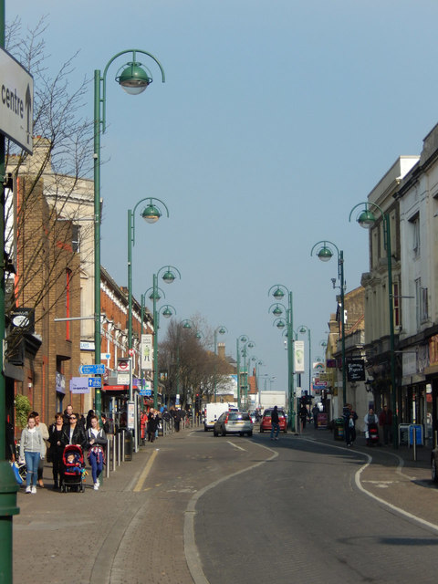
Image: © Stephen McKay Taken: 11 Mar 2016
The heart of this Victorian suburb, the High Road was once part of the A11 between London and Epping. The unusual lamp posts are a distinctive touch.
Images are licensed for reuse under creativecommons.org/licenses/by-sa/2.0
Image Location
Latitude
51.56885
Longitude
0.011536