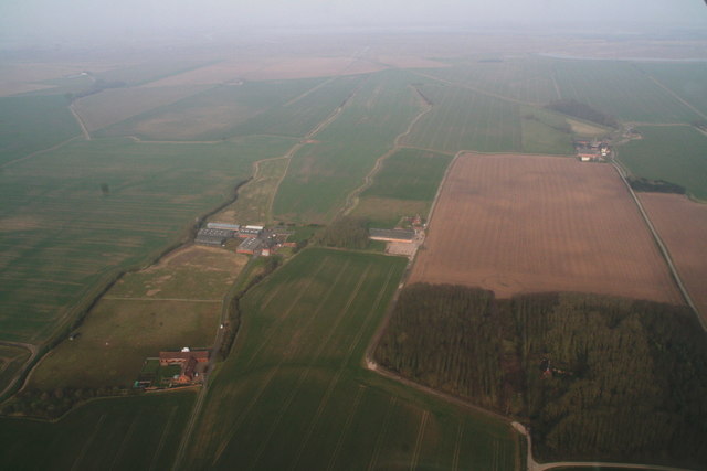
Grainthorpe Fen: land beyond the medieval sea dike: aerial 2016
Introduction
The photograph on this page of Grainthorpe Fen: land beyond the medieval sea dike: aerial 2016 by Chris as part of the Geograph project.
The Geograph project started in 2005 with the aim of publishing, organising and preserving representative images for every square kilometre of Great Britain, Ireland and the Isle of Man.
There are currently over 7.5m images from over 14,400 individuals and you can help contribute to the project by visiting https://www.geograph.org.uk

Image: © Chris Taken: 13 Mar 2016
All the land here has been reclaimed from the sea at some point, i.e. in stages. Left is Sea Bank House, centre Evergreen Farm, top right Sea Farm and the site of Swine Haven (or Suine Haven)- see Image The area is traversed by many footpaths and tracks, along which ancient peoples will have made their way to the marshes, the "salt strikes" (medieval and Roman salt production took place here) and the sea.

