View to Garreg Fawr
Introduction
The photograph on this page of View to Garreg Fawr by Jonathan Wilkins as part of the Geograph project.
The Geograph project started in 2005 with the aim of publishing, organising and preserving representative images for every square kilometre of Great Britain, Ireland and the Isle of Man.

There are currently over 7.5m images from over 14,400 individuals and you can help contribute to the project by visiting https://www.geograph.org.uk
View to Garreg Fawr
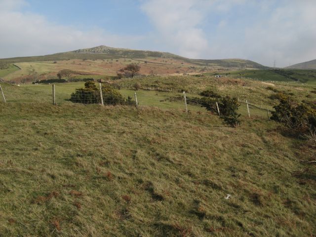
Image: © Jonathan Wilkins Taken: 13 Mar 2016
Looking over sheep pasture above Rhiwiau-isaf and Llys-y-gwynt towards the distant eminence of Garreg Fawr (see Image).
Images are licensed for reuse under creativecommons.org/licenses/by-sa/2.0
Image Location
Latitude
53.24031
Longitude
-3.982267