Y Bwthyn, Llanelli
Introduction
The photograph on this page of Y Bwthyn, Llanelli by Jaggery as part of the Geograph project.
The Geograph project started in 2005 with the aim of publishing, organising and preserving representative images for every square kilometre of Great Britain, Ireland and the Isle of Man.

There are currently over 7.5m images from over 14,400 individuals and you can help contribute to the project by visiting https://www.geograph.org.uk
Y Bwthyn, Llanelli
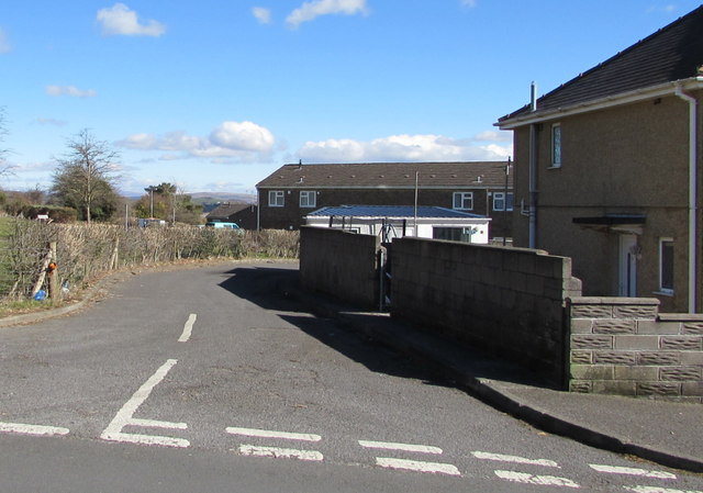
Image: © Jaggery Taken: 10 Mar 2016
The SW end of Y Bwthyn, viewed across Bigyn Road. Y Bwthyn is a side road leading to Queen Mary's Walk, about 170 metres to the east.
Images are licensed for reuse under creativecommons.org/licenses/by-sa/2.0
Image Location
Latitude
51.676773
Longitude
-4.152329