Louth North: aerial 2016
Introduction
The photograph on this page of Louth North: aerial 2016 by Chris as part of the Geograph project.
The Geograph project started in 2005 with the aim of publishing, organising and preserving representative images for every square kilometre of Great Britain, Ireland and the Isle of Man.

There are currently over 7.5m images from over 14,400 individuals and you can help contribute to the project by visiting https://www.geograph.org.uk
Louth North: aerial 2016
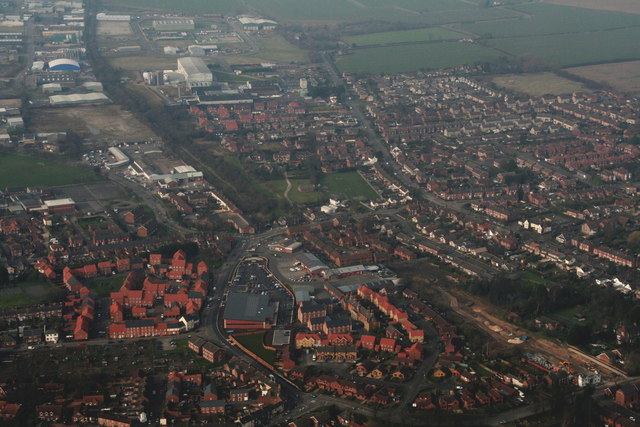
Image: © Chris Taken: 13 Mar 2016
Aldi between the two estates of red houses. Brackenborough Road right. Fairfield Industrial Estate and disused railway top left.
Images are licensed for reuse under creativecommons.org/licenses/by-sa/2.0
Image Location
Latitude
53.374137
Longitude
0.001185