Road To Dreenhill
Introduction
The photograph on this page of Road To Dreenhill by Deborah Tilley as part of the Geograph project.
The Geograph project started in 2005 with the aim of publishing, organising and preserving representative images for every square kilometre of Great Britain, Ireland and the Isle of Man.

There are currently over 7.5m images from over 14,400 individuals and you can help contribute to the project by visiting https://www.geograph.org.uk
Road To Dreenhill
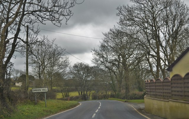
Image: © Deborah Tilley Taken: 12 Mar 2016
Ref Wikipedia: Dreenhill. While Steynton village is in the south of the parish, Dreenhill is a hamlet in the north (SM924134) on the B4327 road 1 mile (1.6 km) southwest of Haverfordwest. Dreenhill has a Calvanistic Methodist Chapel, established in 1834.The hamlet has a garage, a pub/restaurant (The Masons, formerly the Masons Arms) and a few houses, and is surrounded by farmland
Images are licensed for reuse under creativecommons.org/licenses/by-sa/2.0
Image Location
Latitude
51.787584
Longitude
-5.017806