View over the foundations of Kebroyd Mills, Ripponden
Introduction
The photograph on this page of View over the foundations of Kebroyd Mills, Ripponden by Humphrey Bolton as part of the Geograph project.
The Geograph project started in 2005 with the aim of publishing, organising and preserving representative images for every square kilometre of Great Britain, Ireland and the Isle of Man.

There are currently over 7.5m images from over 14,400 individuals and you can help contribute to the project by visiting https://www.geograph.org.uk
View over the foundations of Kebroyd Mills, Ripponden
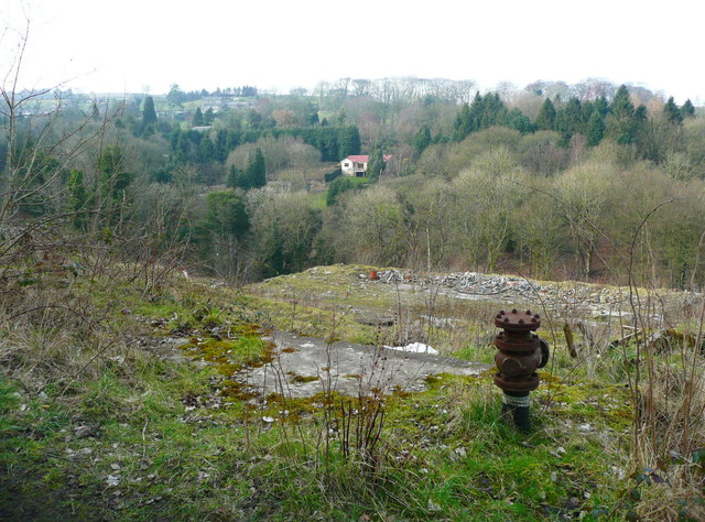
Image: © Humphrey Bolton Taken: 13 Mar 2016
These mills were captioned 'silk and cotton' on older maps, but just 'cotton' on the 1960s map. The mill buildings were destroyed by fire in 2006. See http://www.fustianopolis.co.uk/printable.php?id=23 for more information about the history of the site and the Kebroyd area.
Images are licensed for reuse under creativecommons.org/licenses/by-sa/2.0
Image Location
Latitude
53.687777
Longitude
-1.939848