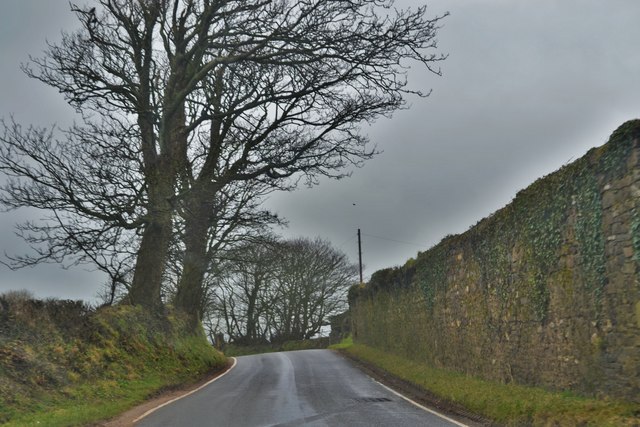
Stone Wall At Rosepool
Introduction
The photograph on this page of Stone Wall At Rosepool by Deborah Tilley as part of the Geograph project.
The Geograph project started in 2005 with the aim of publishing, organising and preserving representative images for every square kilometre of Great Britain, Ireland and the Isle of Man.
There are currently over 7.5m images from over 14,400 individuals and you can help contribute to the project by visiting https://www.geograph.org.uk

Image: © Deborah Tilley Taken: 12 Mar 2016
A listed building: On the S side of Dale Road some 1.1km W of the Church of Saint James the Great at Walwyn's Castle. House probably rebuilt in late C18. Recorded as owned in 1541 by W. Bateman, and in C17 by a branch of the Barlow family of Slebech. Assessed as having five hearths 1670. Owned by the Barlows to later C18. In 1779 occupied by the widow of Thomas Surman of Rosepool, William Cozens of Rosepool died in 1784, and in 1786 owned by John Cozens, with Mr Roch as tenant. John Cozens died in 1814 aged 73, his nephew John died in 1817, aged 38, then owned by William Cozens of Sandy Haven. Sold by the family in 1837. Farmed from 1912 by family of present owner, Charles George listed in Kelly's Directory in 1926.

